41
/
AIzaSyB4mHJ5NPEv-XzF7P6NDYXjlkCWaeKw5bc
May 31, 2026
2197905
184135
2
Create a timeline
Public Timelines
For organizations
For companies
For educational institutions
For teachers
For students
Dashboard
For educational institutions
For teachers
For students
Dashboard
FAQ
Close
Create a timeline
Public timelines
FAQ
About & Feedback
Terms
Privacy
FAQ
Support 24/7
Dashboard
Get premium
Donate
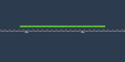
7h 8min, aug 24, 1980 y - late 1900s: high-quality maps produced from aerial and satellite imagery and geographic information systems, global positioning systems developed
Added to timeline:
History of Cartography
By
Jessica Stephens
21 Nov 2018
0
0
390
Date:
7h 8min, aug 24, 1980 y
Now
~ 45 years ago
About & Feedback
Terms
Privacy
FAQ
Support 24/7
Dashboard
Get premium
Donate
The service accepts bank transfer (ACH, Wire) or cards (Visa, MasterCard, etc). Processed by Stripe.
Secured with SSL