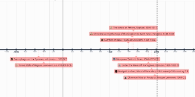
1 ore 11 min, 1 gen 1900 anni - Navigation chart, Marshall Islanders, 19th to early 20th century C.E.
Descrizione:
1. The Marshall Islands consists of more than one thousand islands spread out across an area of several hundred miles, and they're really hard to find because of how low they are. These charts were used by Marshall Islanders as a tool to navigate between the islands. Diagonal sticks represent wave swells, and cowrie plus other shells represent island positions.2. Since wooden sticks and shells were probably easy to acquire or make on the islands, it makes sense why this would be the medium of choice.
3. The maps were not brought along on voyages but memorized. This explains the simplicity of the maps.
Aggiunto al nastro di tempo:
Data:
1 ore 11 min, 1 gen 1900 anni
Adesso
~ 125 years ago
