1 jan 1867 ano - Map of Travel and Communication Lines.
Descrição:
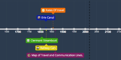
This map is made by James Lloyd in 1867 to show the telegraph, communication, and travel lines of the United States. This map would be able to show people where they could communicate, where it would be more populated and where to travel. It also shows the state's borders and the Great Lakes.Adicionado na linha do tempo:
Data:
1 jan 1867 ano
Agora
~ 157 years ago
