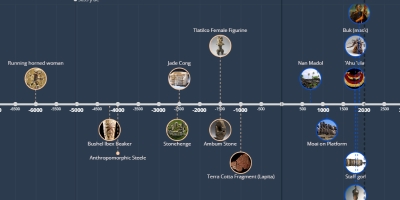
12 abr 1900 ano - Navigation Chart
Descrição:
wood, fiber, shellMarshall Islands (Micronesia)
navigation tools, had to be memorized, marked locations of islands and swell/wave patterns (vertical + horizontal lines = support, diagonal + curved lines = wave swells, shells = positions of islands)
Rebbelib= large section/ all of the Marshall Islands
Mattang= small, for training people who were to become navigators
Adicionado na linha do tempo:
Data:
12 abr 1900 ano
Agora
~ 125 years ago
