1 janv. 1710 - The Moll's Map Of South America
Description:
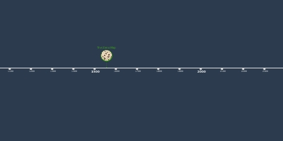
The Moll's Map of South America was created by Herman Moll in 1710 and showed South America, The Atlantic Ocean and the "Great South Sea". This was the first map to show the Phantom Island of Saxenburg though it was labeled as discovered in 1670. The island's description was a low-lying piece of land with a mountain in the middle.Ajouté au bande de temps:
Date:
1 janv. 1710
Maintenaint
~ Il y a 316 ans