33
/fr/
AIzaSyB4mHJ5NPEv-XzF7P6NDYXjlkCWaeKw5bc
November 30, 2025
111808
10117
2
Create a timeline
Public Timelines
For education
For educational institutions
For teachers
For students
Cabinet
For educational institutions
For teachers
For students
Open cabinet
FAQ
Close
Create a timeline
Public timelines
FAQ
About & Feedback
Un accord
Confidentialité
FAQ
Support 24/7
Cabinet
Get premium
Donate
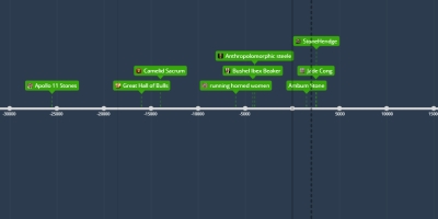
17 nov 1950 - Navigation chart
Description:
19th to Early 20th century
Wood, fiber, shell
Marshall Islands (Micronesia)
used as a map
Ajouté au bande de temps:
APAH
By
Daniel Perry
16 nov. 2017
0
0
623
Date:
17 nov 1950
Maintenaint
~ Il y a 75 ans
Les images:
About & Feedback
Un accord
Confidentialité
FAQ
Support 24/7
Cabinet
Get premium
Donate
The service accepts bank transfer (ACH, Wire) or cards (Visa, MasterCard, etc). Processed by Stripe.
Secured with SSL