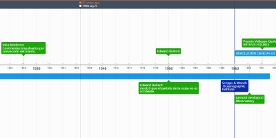
22 Feb 1959 Jahr - EWING & HEZEEN • Batimetría • En 1959 publicaron el primer mapa tectónico del Océano Atlántico mostrando: • Dorsal • Sismicidad asociada • El valle de rift en la cresta de la dorsal • La batimetría tenía zonas sin control de más de 1000 km.
Zugefügt zum Band der Zeit:
Datum:
22 Feb 1959 Jahr
Jetzt
~ 66 years ago
